How to Predict Safe Crossing Times for Coastal Causeways and Tidal Roads
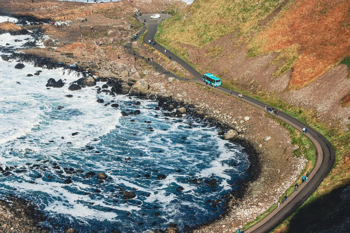
Every year, drivers misjudge a causeway. The water looks shallow. The far side looks close. The tide table said low water at 14:20, and it is now 15:05. What could possibly go wrong? Quite a lot, as it happens. Tidal roads — the causeways, fords and crossings that vanish beneath the sea twice a day — are among the most unforgiving stretches of road in Britain. But they are also perfectly manageable if you treat them with the respect they deserve and do a little homework before you set off.
This guide walks through how to read the tides, the signs and the landscape together, so you can work out your own safe crossing window rather than guessing.
A tide table gives you two figures that matter most: the time of high and low water, and the height of the tide in metres. Most people fixate on the first and ignore the second. That is a mistake. A low water of 0.4 metres above chart datum is very different from a low water of 2.1 metres. On some spring tides the water never fully clears certain causeways — the road stays wet or slightly submerged at low water itself.
You also need to know which tide you are dealing with. Spring tides (around the new and full moon) push water further up and pull it further back than neap tides. That cuts both ways: springs may open a crossing earlier, but they also close it faster and leave less margin on either side.
Two more details catch people out:
Even with accurate figures, water depth across a causeway depends on things the table cannot tell you. Wind is the big one: a strong onshore wind can hold water on the road or pile it up, delaying the clearance and bringing it back early. Low pressure does something similar, and a heavy run of rain draining off the land can add to the depth at an estuary crossing.
The shape of the seabed matters too. Many causeways sit in shallow, sandy bays where the tide floods across a wide flat rather than rising like a bath. That means the water can arrive quickly and from an unexpected direction — sometimes cutting off the road behind you before it covers the middle.
Work from the middle outwards. Take low water as your centre point, then find out the shortest time the crossing is reliably passable — often one to two hours either side, but sometimes much less. Aim to cross in the first part of that window, not the last. If low water is at 14:20 and the road is usually clear from about 12:30 to 16:00, then 12:45 is a sensible crossing time and 15:30 is an unnecessary gamble.
Causeways that are regularly used carry signage, and it is there for a reason. Expect some combination of:
Read them in daylight, at the roadside, before you commit. Take a photo of the safe times board if there is one. And treat any sign saying the road is closed as final — closures are usually about more than the tide, including damage to the surface or a washed-out section underneath.
Before your wheels touch the causeway, know how you would get out if the water rose around you. This is not morbid; it is basic planning. On most crossings the answer comes down to one of two things: turn back, or get to a refuge.
If the water is already flowing across the road when you arrive — even a few centimetres — the safest decision is almost always to wait, or to take the long way round. Moving water is far more powerful than it looks, and a car can be floated or swept sideways in surprisingly little depth. Salt water will also wreck the underside of a modern vehicle, which is a costly reminder even if you get away with it.
If water starts rising around the car and you cannot retreat, do not sit and hope. Get everyone out, leave the vehicle, and move to the nearest refuge or back to the shore, keeping to the highest ground you can find. Take your phone, but do not stop to gather belongings. Once clear, call the coastguard or the emergency services and tell them exactly where you are — the crossing name and the nearest refuge number will help.
Do not attempt to swim or wade a flooded causeway in the dark or against a running tide unless there is genuinely no alternative. Cold water and a slippery, unfamiliar surface make this far more dangerous than it appears from the car.
Check the tide table for the nearest port, note the height as well as the time, and factor in the wind. Look up the local safe crossing times if a board or website provides them. Read the signs at the entrance properly. Pick your decision line and your refuge before you set off. Cross early in the window, not late. And if anything feels marginal — the wind, the light, a slow tide on the road — wait for the next low water. On a tidal road, patience costs you an hour. Impatience can cost much more.
Photo: Dahlia E. Akhaine / Pexels
Previous Post
Common Mistakes When Swimming in the Sea: A British Coast Safety Guide
Next Post
The Shipping Forecast Explained: What Each Sea Area and Warning Means for Coastal Days