A Coastal Walk Checklist: 10 Things to Check Before You Set Off
For roughly four hours either side of high water, a British coast path can be a completely different walk from the one you planned at the kitchen table. Beaches shrink to nothing, headland paths end in a wall of water, and the friendly shingle you crossed at ten in the morning is a knee-deep channel by three. None of that is a problem if you have seen it coming.
Most of the checks below take ten minutes at home and another five at the car park. Together they turn a gamble into an ordinary day out.
Find the tide table for your nearest standard port — the one the tables are published for, not the nearest town. Then apply the local difference. A small harbour three miles along the coast can be twenty minutes and half a metre different from the port it is tied to, and the harbour office, coastwatch station or local sailing club will usually tell you what that difference is.
Write down two things: the time and height of high water, and the time of the next low water. Everything else on the day hangs off those numbers.
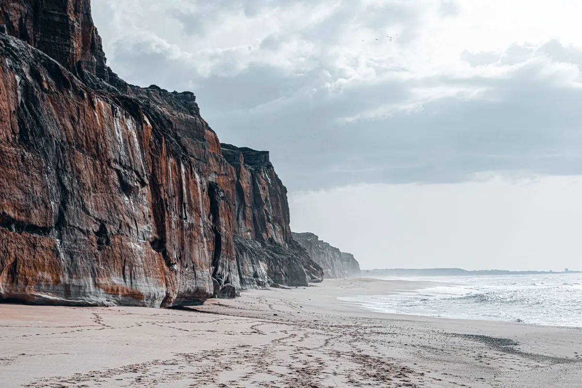
Read the route and mark the low-lying sections: strandline beaches, estuary crossings, rock platforms, the foot of a cliff. On most coast paths these are the stretches that matter. Note the escape points too — a slipway, a set of steps, a path back up through the dunes — because those are what you will want at three in the afternoon when the water is already across the sand you walked out on.
Where a route has a genuine tidal cut-off, time the walk so you cross it on a falling tide. Give yourself a margin rather than a minute: aim to be through the low section two hours before high water, not twenty minutes.
Spring tides — the big ones around full and new moon — push water further up the beach and further up the estuary. Neap tides are gentler, but not harmless. And tide tables are predictions, not promises. Sustained onshore wind and low pressure can raise actual water levels above the predicted height, which is exactly when promenades and causeways get overtopped.
Weather that feels mild inland can be raw on an exposed headland. Use the coastal and inshore waters forecasts rather than the town forecast, and look at wind direction and strength before anything else. A steady twenty miles an hour straight into your face adds hours to a walk and takes the pleasure out of it; the same wind at your back is a gift.
Wind against tide makes the sea choppy and sends spray over low paths and promenades. Fog and sea fret can arrive within minutes on an otherwise clear afternoon, so carry a compass or know which way the coast runs. Rain matters less for comfort than it does for the ground: chalk, clay and wooden steps get genuinely slippery, and steep descents become slow.
Check sunset as well, and work backwards from it. Coastal walks take longer than the map suggests, and a head torch is a poor substitute for daylight on a cliff path.
Coastal ground is rarely flat and hardly ever dry. You want grip first, then ankle support. Walking boots or grippy trail shoes handle wet rock, seaweed, shingle and mud far better than anything designed for pavement, and they stay on your feet when you step into soft sand.
Wellington boots are the classic mistake on a long coast walk: no ankle support, and once water comes over the top they hold it. Sandals and bare feet are worse than they look on a sunny day — green algae on rock, wet wood on a slipway and barnacled rock are all genuinely treacherous.
If you have a heart, breathing or joint condition, take advice from your GP before committing to long sections with steps and no easy exit. Coast paths are not always kind about offering you a short way back.
Use a proper map, ideally an OS Explorer at 1:25,000, which shows the coast path, rights of way, steps and the shape of the shoreline. Read the notes for the day's stretch before you go, not while you are standing at a gate. Look for the things that change a route: long flights of steps, sections that drop onto the beach, paths that run behind a caravan park or through a golf course, and gates or stiles that slow you down with a dog.
Allow time honestly. Three kilometres an hour is a reasonable coastal average on easy ground; on shingle, soft sand or a staircase up a headland it can drop to two or less. A coast path kilometre is not a pavement kilometre.
Check for closures before you set off. Cliff erosion, landslips and winter storms regularly divert sections of the England Coast Path and the Welsh, Scottish and Northern Irish equivalents, and local authority or national park websites list the current diversions. If your route crosses a military range — Lulworth, Castlemartin and Cape Wrath are the well-known ones — check the firing times on the day, because access is closed when the red flags are up.
Causeways attract trouble precisely because they look so simple. Lindisfarne, Burgh Island, St Michael's Mount and Cramond are all crossed on a published safe window, and the window is shorter than people assume. Do not start across if water is already moving over the road, and do not turn back into a rising tide on a route you have not walked before.
The coastguard is reached through 999, and it is the right call for anyone cut off by the tide, injured on a cliff path or in the water. If you carry a VHF radio, channel 16 is the distress and calling channel, and a DSC set will raise an alert at the press of a button. A personal locator beacon does the same job from a pocket.
Mobile signal is patchy in coves, under cliffs and on remote stretches, so do not build a plan around having it. Keep the phone in flight mode to save battery, and know how to describe where you are: a grid reference from the map, or a what3words location, plus the nearest named beach or car park. Call early rather than late. Coastguard rescue teams, lifeboats, hovercraft and cliff teams would far rather turn out for someone who is worried than search for someone who waited.
If the water is coming round you, get to high ground, stay visible and call. Do not swim for it.
Two minutes standing still does most of the work. Take a photograph of the relevant tide table on the harbour notice board so it is in your pocket. Turn and face the wind to feel what it is doing. Look at the sea state and the height of the water on the beach. Pick out one landmark you will see from further along the coast.
Then send a short message: where you are starting, the route, and when you expect to be back. It is a small thing that costs nothing, and on the days that go sideways it is the most useful sentence anyone will read.
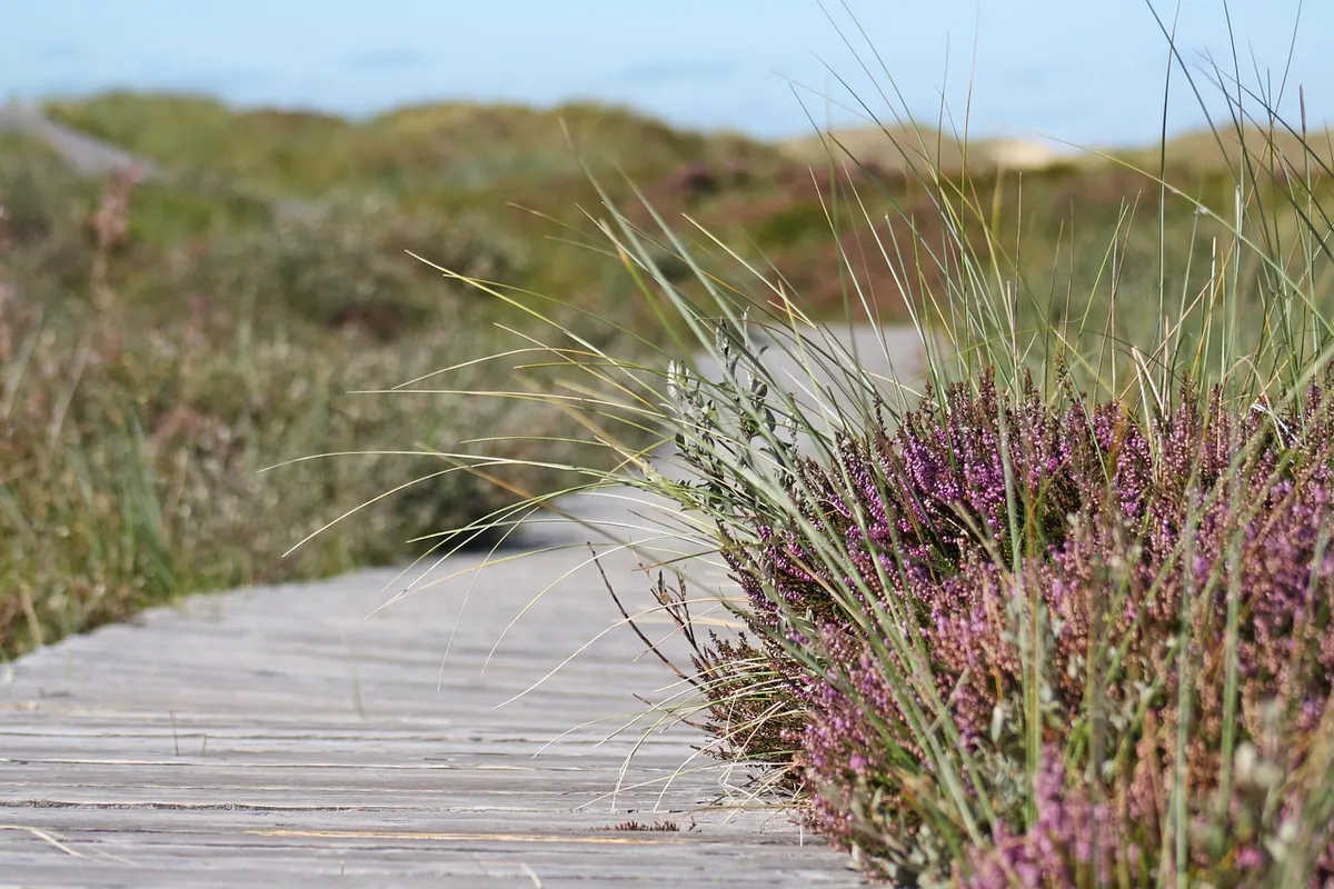
Photo: DolfiAm / Pixabay
Previous Post
Tide Times for Rock Pooling: How to Find the Safest Low-Water Window
Next Post
Common Mistakes When Swimming in the Sea: A British Coast Safety Guide